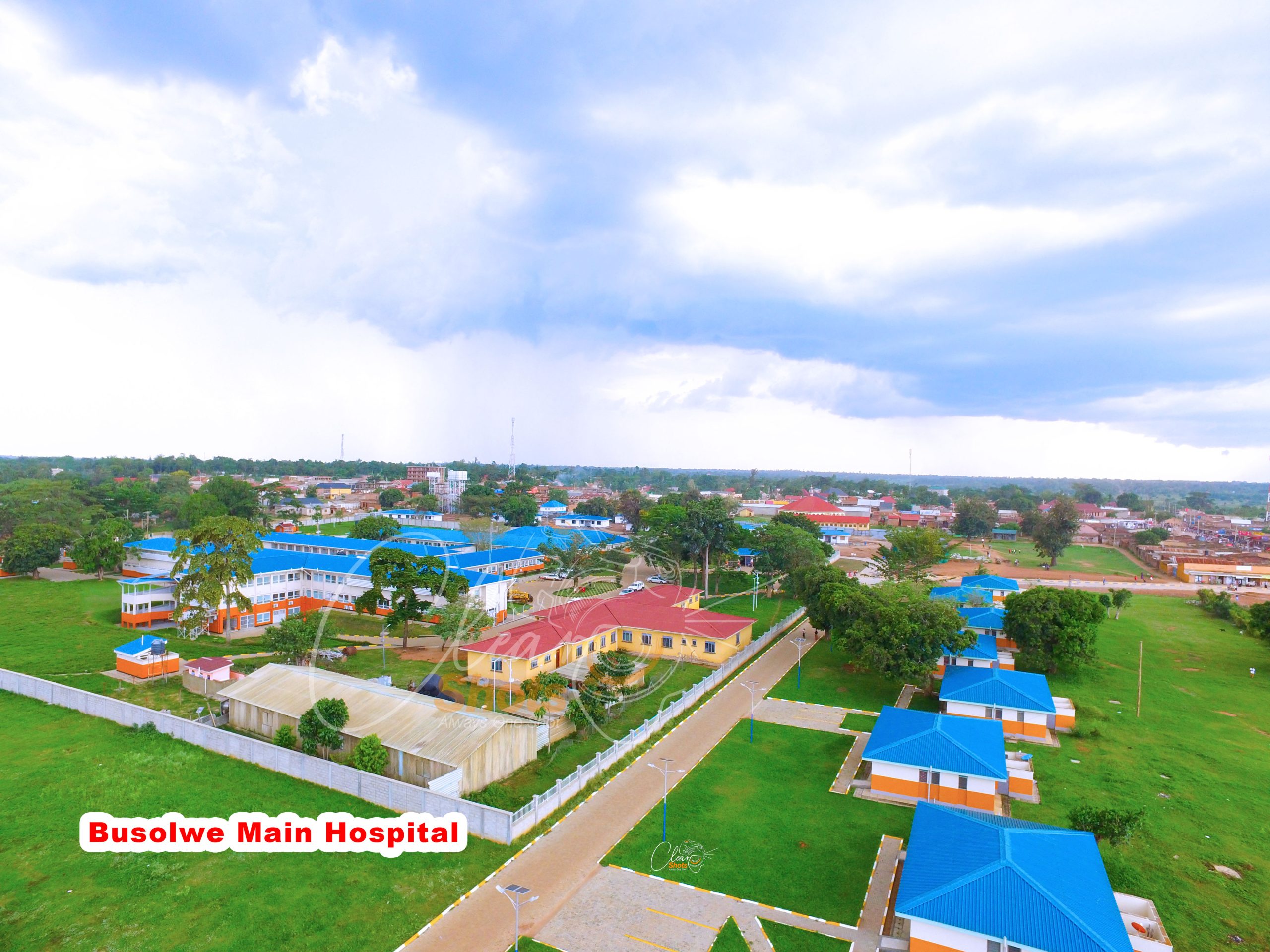
Welcome to the official website of Butaleja District! Nestled in a region with a favorable climate and stunning landscapes, our district is rich in natural resources like copper, cobalt, limestone, rivers, lakes, and mountains. Explore our site to learn more about our communities, culture, and development initiatives.
Location and Geography
Butaleja District is defined by its low-lying, flat landscape and a hydrological system that makes it one of Uganda’s most productive yet environmentally sensitive regions.
Geographical Location
Regional Position: Located in the Eastern Region of Uganda, part of the Lake Kyoga basin.
Administrative Boundaries:
North: Budaka and Kibuku Districts
East: Mbale District
South: Bugiri and Tororo Districts
West: Namutumba District
Coordinates: Approximately 00°56′N 33°57′E
Proximity: The district headquarters in Butaleja Town are situated about 38–42 kilometres southwest of Mbale, the sub-region’s largest city.
Physical Geography & Terrain
Topography: The area is generally flat and low-lying, with an average elevation of approximately 1,060 to 1,100 metres (3,500–3,600 ft) above sea level.
Wetlands and Water:
River Manafwa: This major river traverses the district, originating from Mount Elgon and eventually emptying into the Mpologoma River.
Surface Coverage: Approximately 40% of the district consists of wetlands and papyrus swamps. These act as a natural floodplain for water draining from the Mount Elgon highlands.
Environmental Features: The landscape is a mix of cropland (roughly 46–53%), herbaceous vegetation, and scattered trees.
Vision
A healthy Prosperous and sustainably developing community by 2040.
Mission
To provide quality and coordinated decentralized services to the community with focus on local and National priorities for sustainable development.